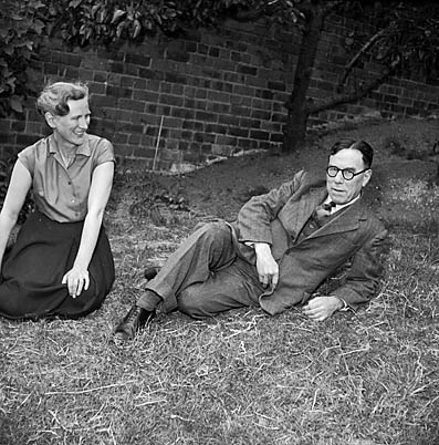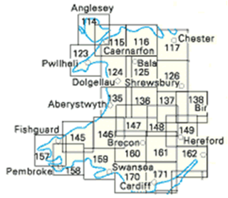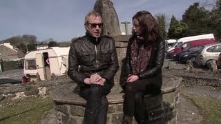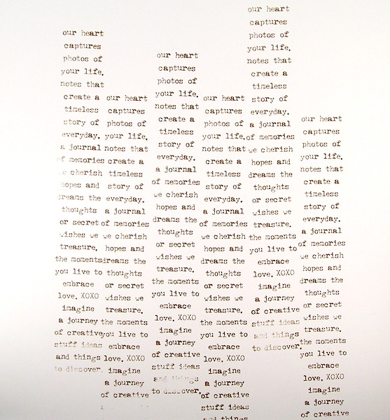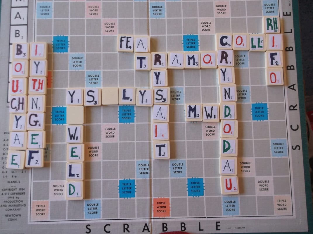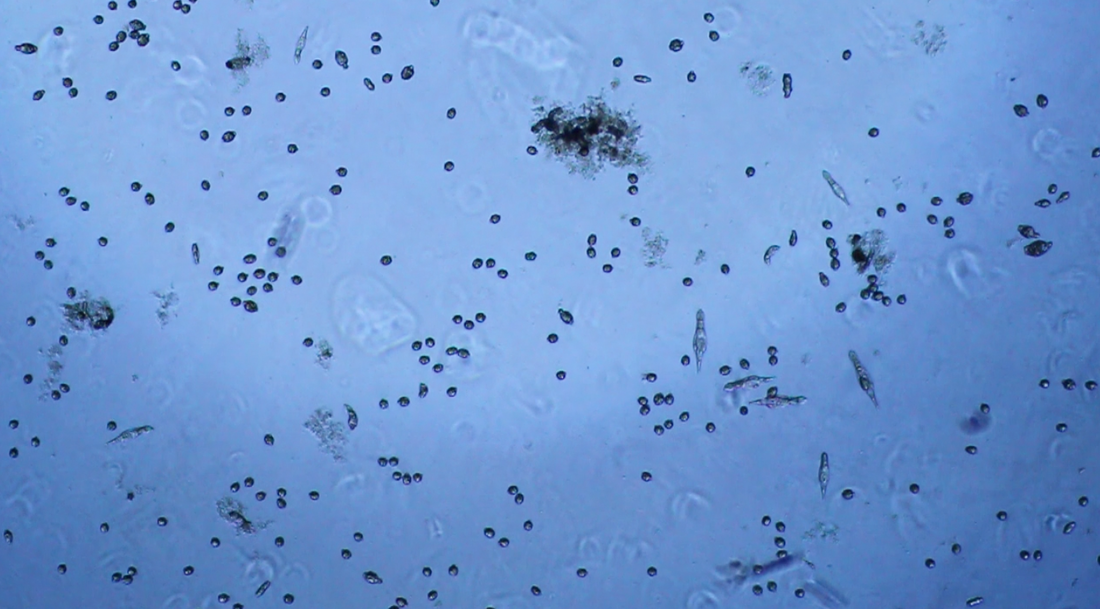
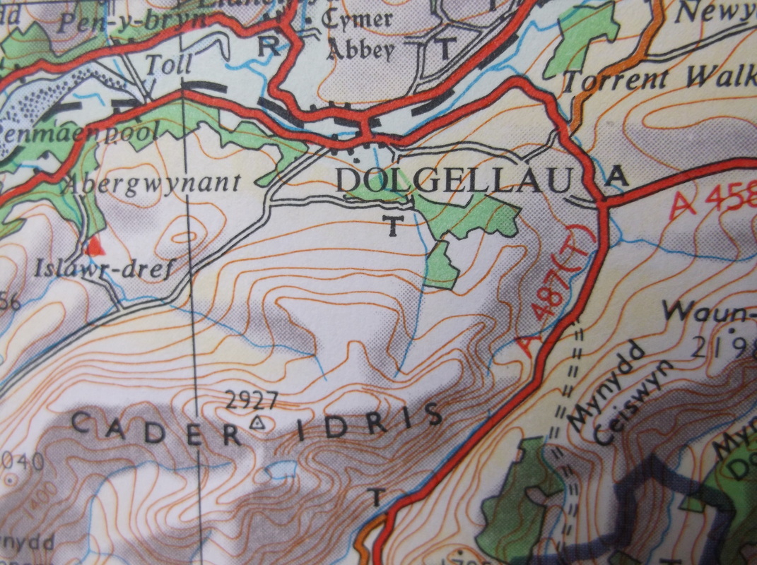
I can still remember vividly the first time I looked at some puddle-water through a microscope and saw a new world. Just think what it must have been like for those early microscopists suddenly discovering that there was more and more at smaller and smaller scales.... well, here's a map of the area just below Dolgellau ... it's all a bit empty isn't it ... just like that puddle I got the water from ... let's concentrate on that capital T just below the L of DoLgellau ...
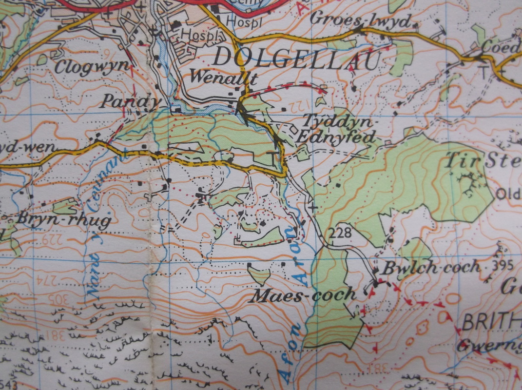
Let's use a more powerful lens and get a close-up look .. that 1km square in the middle there is 1673 . 16 across, 73 up. Hey, it's got a telephone box, various houses, woods, a "river", Afon Aron, some steep bits and a biggish place called Tyddyn Ednyfed. In microscopic terms, we've found some of the bigger small stuff.
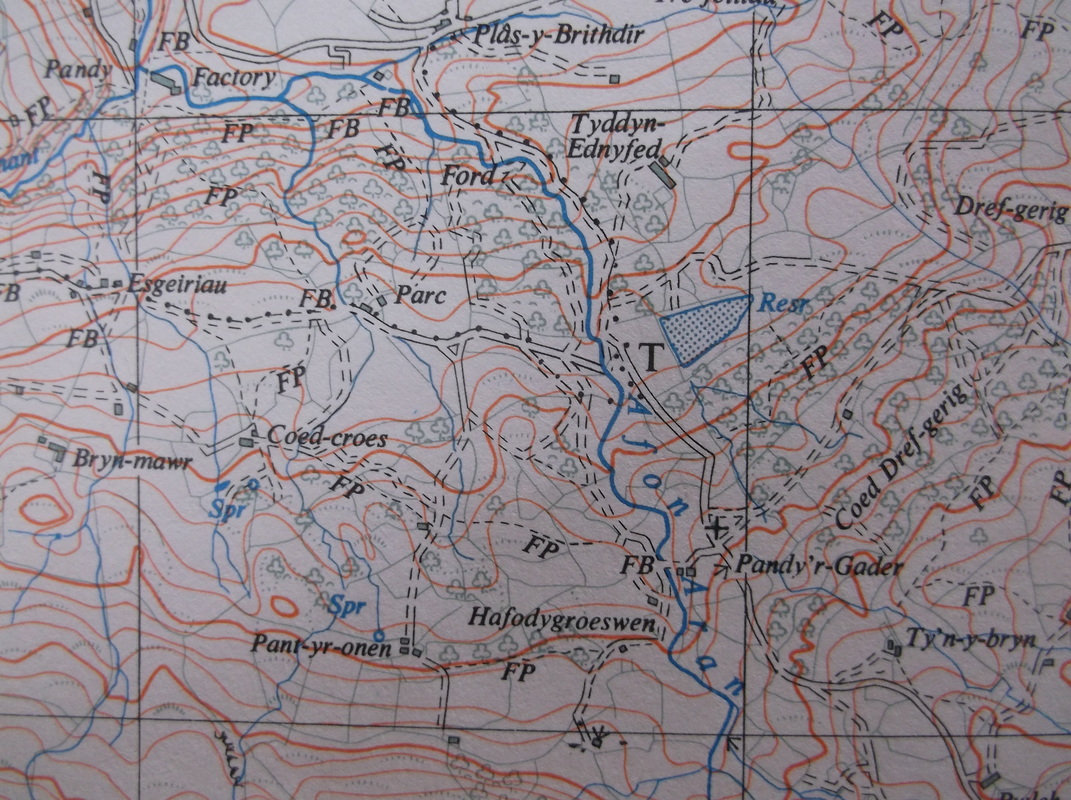
Right ... let's use an even bigger lens and see what else we can see... the small stuff ! Aha ! The 1km square 1673 nearly fills the field of view now, and new stuff swims into our ken ... a reservoir ! Then we see Esgeiriau, Coed-croes, Pant-yr-onen, the wonderful Hafodgroeswen, Pandy'r Gader, Parc .... right now, there'll be people in there as well, in the houses, driving along the dinky roads , hoping the ford isn't too full I expect.
If we could zoom in even further, we would find more and more .... every field has a name you know. And there'll be names for some if not all of the woods, I bet that little triangle of road just above the middle has a name, and there'll be lots of people in there too... I wonder how many? Some of them will have dogs with Welsh names. When these maps were made, somebody went round and asked the local people what things were called. It was all written down in little notebooks .. no doubt sometimes mis-spelt or later found to be illegible ... such is the way things change or disappear. It's a little world that doesn't know it's being written about and zoomed-in-on right now . On top of that, I could, if I wanted to, get in my car right now and be there inside two hours.I might even find someone to talk with in halting Welsh. Somehow I find that quite strange!
Here's a bit of history ... you can see Tir Stent about a km to the right of Tyddyn Ednyfed.....
Ellis Morris (d. 1693) of Dolgun-uchaf appears among the list of freeholders entitled to graze cattle on Tir Stent in 1654 (Smith & Suggett, 1995). On the 1838 tithe map 'Tir y Stent' is shown as an undefined large area within this character area, but seemingly without owner or tenant, implying common land. The area has a typical scattered settlement pattern, with farms concentrated on the lower slopes, and all that are shown (including Tyddyn Ednyfed, Trefla (Trefeilia), Hafodlas, Pen yr Allt and Drefgerrig) still exist today (without recent additions). Again, the large enclosures shown on the tithe map show the extent of holdings rather than individual fields. The infrastructure of trackways and roads in this area is quite complex (particularly when compared with neighbouring areas), and all routes are still traceable today.
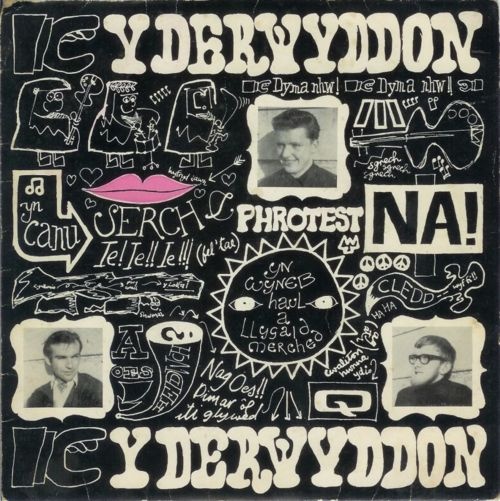
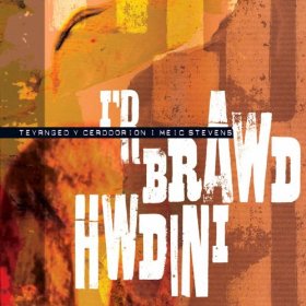
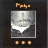
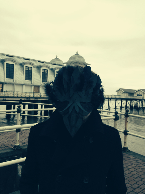
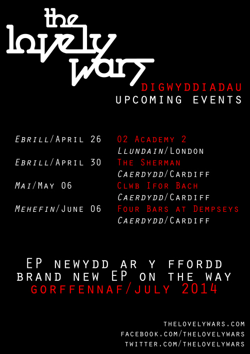
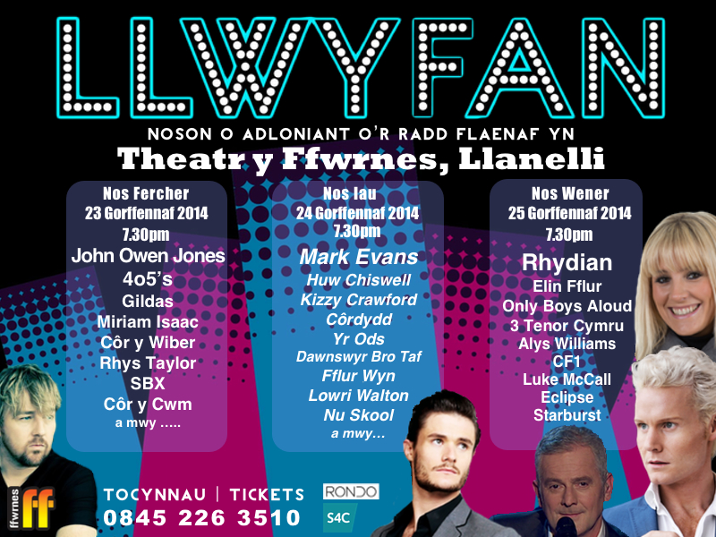
So... after that little microscopic excursion into Deepest Wales, let's listen to Anelog and "Melynllyn"
Here's a bit of history ... you can see Tir Stent about a km to the right of Tyddyn Ednyfed.....
Ellis Morris (d. 1693) of Dolgun-uchaf appears among the list of freeholders entitled to graze cattle on Tir Stent in 1654 (Smith & Suggett, 1995). On the 1838 tithe map 'Tir y Stent' is shown as an undefined large area within this character area, but seemingly without owner or tenant, implying common land. The area has a typical scattered settlement pattern, with farms concentrated on the lower slopes, and all that are shown (including Tyddyn Ednyfed, Trefla (Trefeilia), Hafodlas, Pen yr Allt and Drefgerrig) still exist today (without recent additions). Again, the large enclosures shown on the tithe map show the extent of holdings rather than individual fields. The infrastructure of trackways and roads in this area is quite complex (particularly when compared with neighbouring areas), and all routes are still traceable today.
So... after that little microscopic excursion into Deepest Wales, let's listen to Anelog and "Melynllyn"